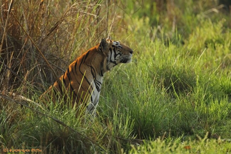
The tiger reserve is situated administratively in the Mandla and Balaghat districts of Madhya Pradesh, and geographically forms part of central Indian highlands.
The geographical coordinates of the Core Zone are as under:
Core Zone
Latitude: 22o 02’ 52.6” to 22o 25’ 48.8”
Longitude: 80o 30’ 09.3” to 81o 02’ 48.4”
The Core Zone falls into the southern part of the Mandla district and the north-eastern part of the
Balaghat district at altitudes between around 500 and 800 mtr. The total area of the Kanha National
Park was 940 sq. km. Now this area incorporates 917.43 sq. km. of the Critical Core or Critical Tiger
Habitat.
 Twitter


